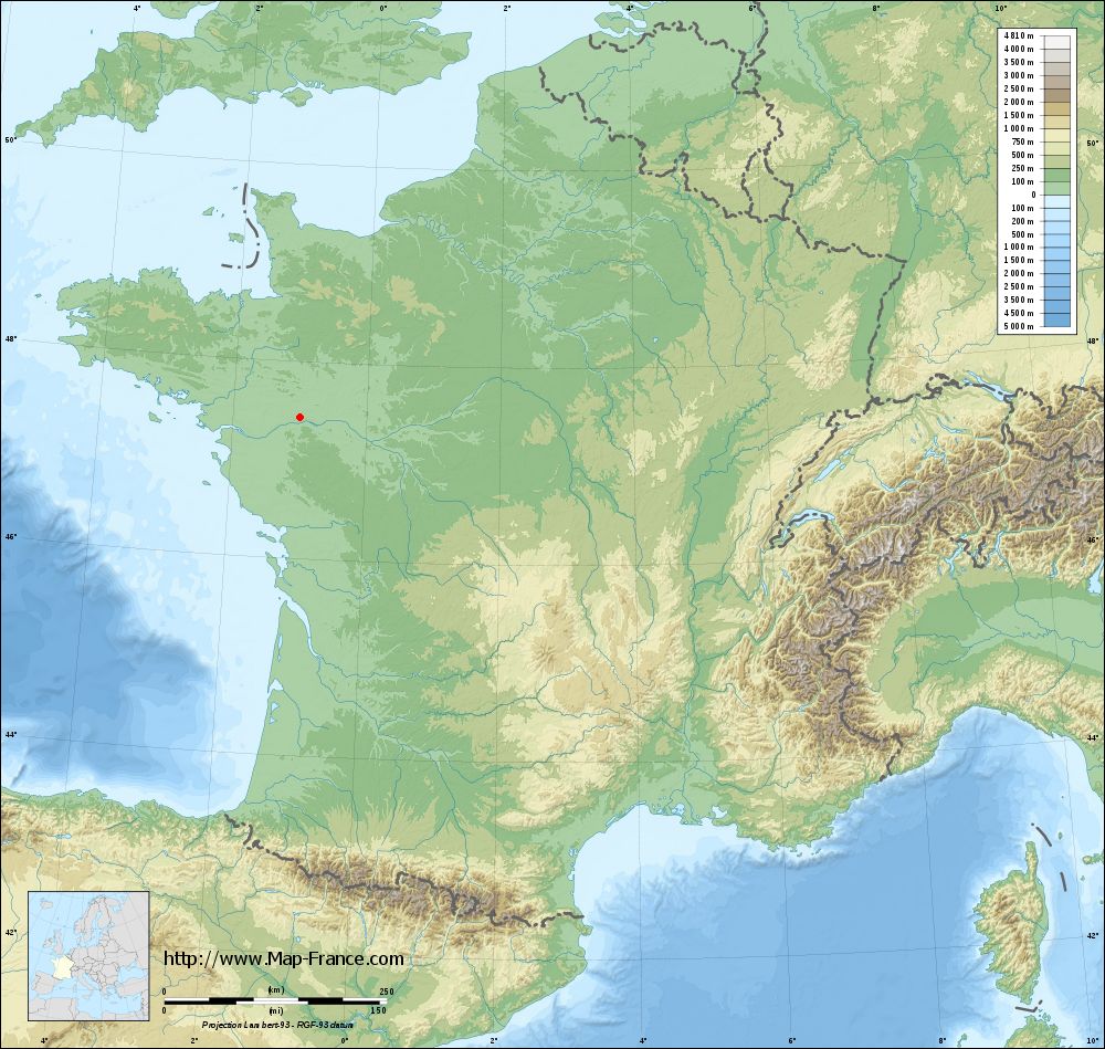
La Chapelle-Saint-Sauveur on the relief France map in Lambert 93 coordinates
|

See the map of La Chapelle-Saint-Sauveur in full screen (1000 x 949)
|
At left, here is the location of La Chapelle-Saint-Sauveur on the relief France map in Lambert 93 coordinates.
Here are the altitudes of La Chapelle-Saint-Sauveur :
- Town hall altitude of La Chapelle-Saint-Sauveur is 70 meters
- Minimum altitude of La Chapelle-Saint-Sauveur is 32 meters
- Maximum altitude of La Chapelle-Saint-Sauveur is 76 meters
- Medium altitude of La Chapelle-Saint-Sauveur is 54 meters
Here are the altitudes of Nantes, prefecture of Loire-Atlantique department:
- Town hall altitude of Nantes is 20 meters
- Minimum altitude of Nantes is 2 meters
- Maximum altitude of Nantes is 52 meters
- Medium altitude of Nantes is 27 meters
Here are the altitudes of the french biggest cities:
Paris : 33 meters
Marseille : 20 meters
Lyon : 237 meters
Toulouse : 146 meters
Nice : 10 meters
Nantes : 20 meters
Strasbourg : 144 meters
Montpellier : 35 meters
Bordeaux : 16 meters
Lille : 20 meters
Rennes : 35 meters
Reims : 83 meters
Click here for the terrain map of La Chapelle-Saint-Sauveur in full screen:
Relief map of La Chapelle-Saint-Sauveur
|
This relief map of La Chapelle-Saint-Sauveur is reusable and modifiable by making a link to this page of the Map-France.com website or by using the given code :
|
Terrain base map of La Chapelle-Saint-Sauveur
|
See the terrain base map of La Chapelle-Saint-Sauveur in full screen (1000 x 949)
|
Small relief base map of La Chapelle-Saint-Sauveur
|
This base map of La Chapelle-Saint-Sauveur is reusable and modifiable by making a link to this page of the Map-France.com website or by using the given code :
|
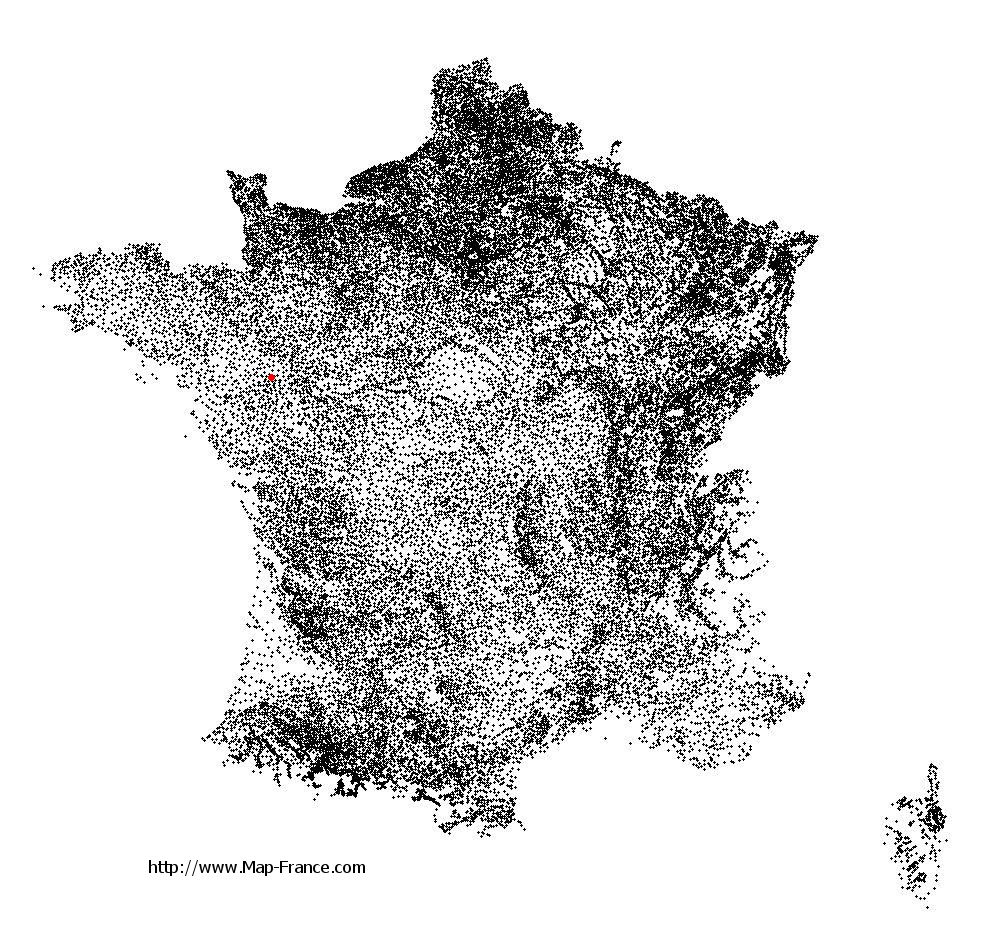
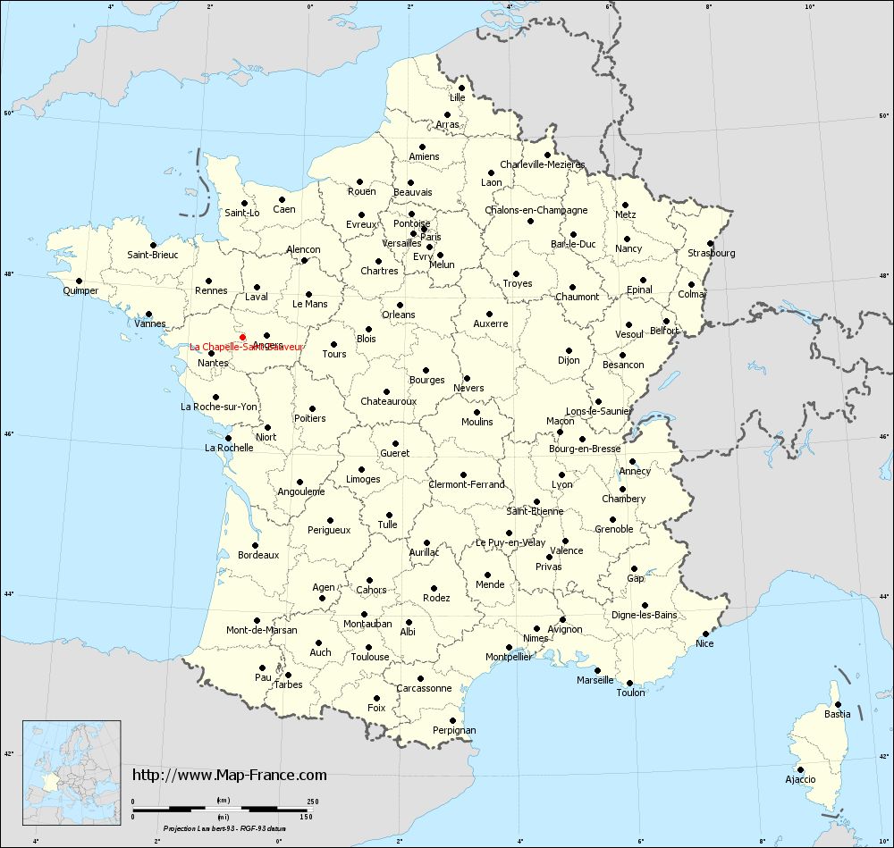
Map of La Chapelle-Saint-Sauveur with regions and prefectures
|
View the map of La Chapelle-Saint-Sauveur in full screen (1000 x 949)
|
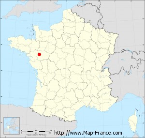
You will find the location of La Chapelle-Saint-Sauveur on the map of France of regions in Lambert 93 coordinates. The town of La Chapelle-Saint-Sauveur is located in the department of Loire-Atlantique of the french region Pays de la Loire.
Geographical sexagesimal coordinates / GPS (WGS84):
Latitude: 47° 26' 28'' North
Longitude: 00° 59' 11'' West
Geographical decimal coordinates :
Latitude: 47.441 degrees (47.441° North)
Longitude: -0.984 degrees (0.984° West)
Lambert 93 coordinates :
X: 3 997 hectometers
Y: 67 121 hectometers
Lambert 2 coordinates :
X: 3 495 hectometers
Y: 22 766 hectometers
Below, the geographical coordinates of Nantes, prefecture of the Loire-Atlantique department:
Geographical sexagesimal coordinates / GPS (WGS84):
Latitude: 47° 13' 02'' North
Longitude: 01° 33' 14'' West
Geographical decimal coordinates :
Latitude: 47.219 degrees (47.219° North)
Longitude: -1.554 degrees (1.554° West)
Lambert 93 coordinates :
X: 3 555 hectometers
Y: 66 896 hectometers
Lambert 2 coordinates :
X: 3 055 hectometers
Y: 22 537 hectometers
|
This map of La Chapelle-Saint-Sauveur is reusable and modifiable by making a link to this page of the Map-France.com website or by using the given code :
|
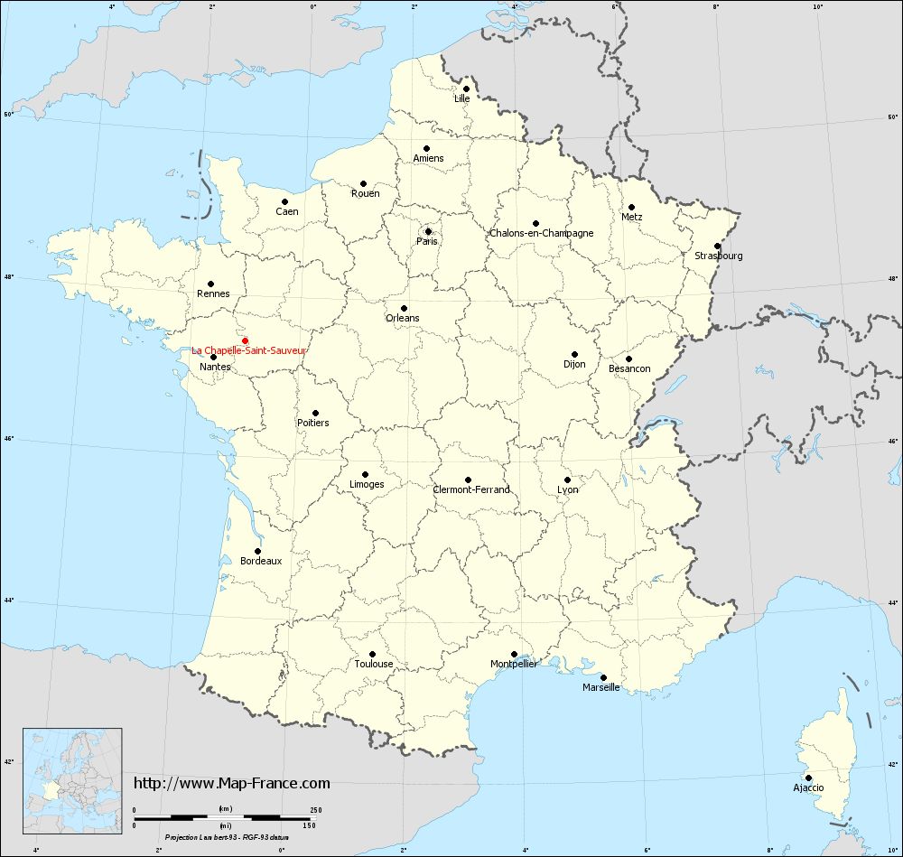
Map of La Chapelle-Saint-Sauveur with departments and prefectures
|
Voir la carte of La Chapelle-Saint-Sauveur en grand format (1000 x 949)
|
Here is the localization of La Chapelle-Saint-Sauveur on the France map of departments in Lambert 93 coordinates. The city of La Chapelle-Saint-Sauveur is shown on the map by a red point.
The town of La Chapelle-Saint-Sauveur is located in the department of Loire-Atlantique of the french region Pays de la Loire.
The latitude of La Chapelle-Saint-Sauveur is 47.441 degrees North.
The longitude of La Chapelle-Saint-Sauveur is 0.984 degrees West.
Here the distance between La Chapelle-Saint-Sauveur and the biggest cities of France:
Distances are calculated as the crow flies (orthodromic distance)
Distance between La Chapelle-Saint-Sauveur and Paris : 292.89 kilometers
Distance between La Chapelle-Saint-Sauveur and Marseille : 677.99 kilometers
Distance between La Chapelle-Saint-Sauveur and Lyon : 481.74 kilometers
Distance between La Chapelle-Saint-Sauveur and Toulouse : 466.9 kilometers
Distance between La Chapelle-Saint-Sauveur and Nice : 763.27 kilometers
Distance between La Chapelle-Saint-Sauveur and Nantes : 49.48 kilometers
Distance between La Chapelle-Saint-Sauveur and Strasbourg : 661.53 kilometers
Distance between La Chapelle-Saint-Sauveur and Montpellier : 569.25 kilometers
Distance between La Chapelle-Saint-Sauveur and Bordeaux : 290.37 kilometers
Distance between La Chapelle-Saint-Sauveur and Lille : 459.75 kilometers
Distance between La Chapelle-Saint-Sauveur and Rennes : 90.48 kilometers
Distance between La Chapelle-Saint-Sauveur and Reims : 421.67 kilometers
Clic here to see the map of La Chapelle-Saint-Sauveur in full screen:
La Chapelle-Saint-Sauveur on the map of french departments
|
This administrative map of La Chapelle-Saint-Sauveur is reusable and modifiable by making a link to this page of the Map-France.com website or by using the given code :
|
Administrative base maps of La Chapelle-Saint-Sauveur
|

See the administrative base map of La Chapelle-Saint-Sauveur in full screen (1000 x 949)
|
Small administrative base map of La Chapelle-Saint-Sauveur
|
This base map administrative of La Chapelle-Saint-Sauveur is reusable and modifiable by making a link to this page of the Map-France.com website or by using the given code :
|
 French Version : http://www.cartesfrance.fr